


 |
|
I really love photography so here are some miscellaneous photos that I have taken the past couple of years. The photos range from weather to landscapes and anything in between. I hope you enjoy looking at them as much as I enjoyed taking them. I have also added a basic and an advanced quiz at the bottom of the page for your enjoyment...
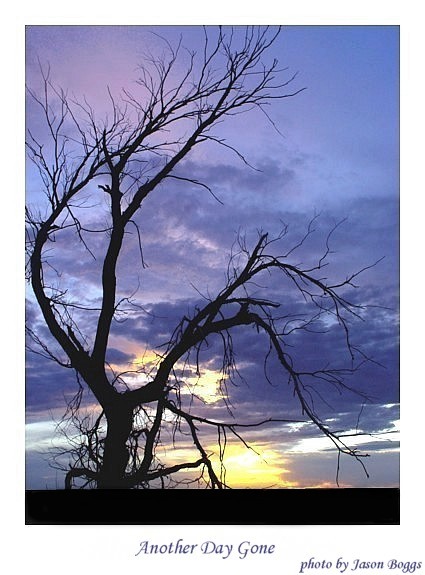
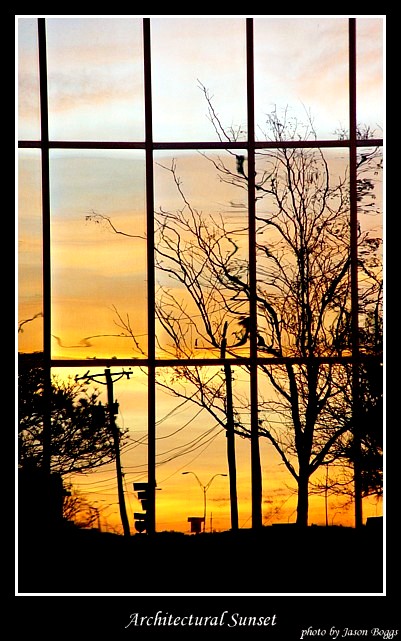
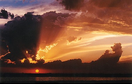
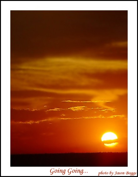
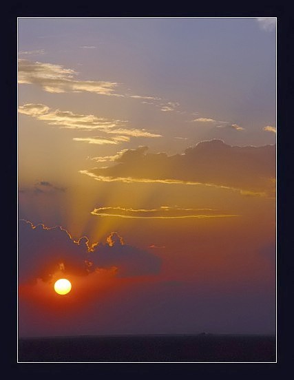
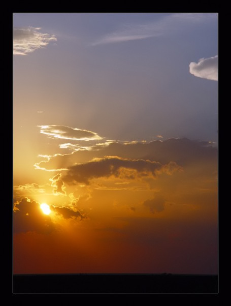
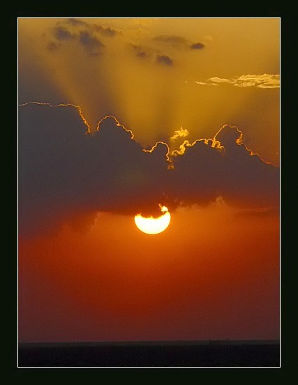
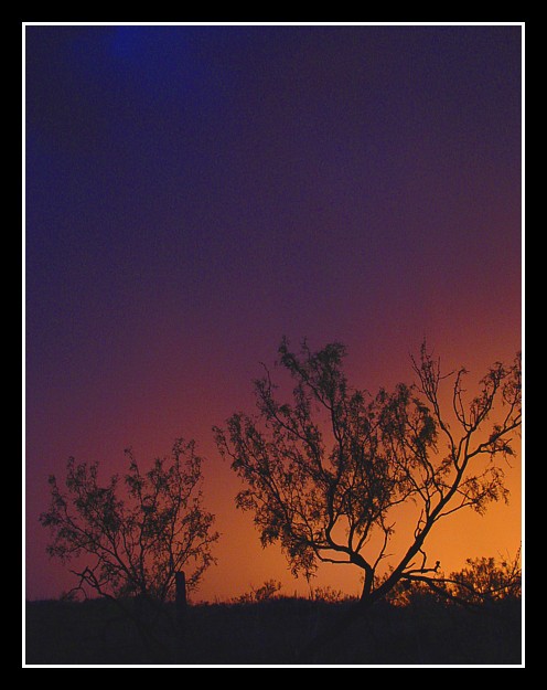
A sunset near Amarillo,TX (digital photo)
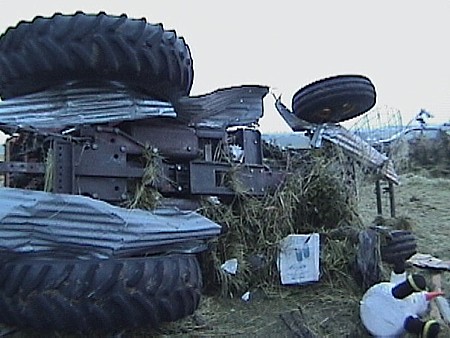
Tractor that was damaged near Madill,OK on 5-8-03 (video still)
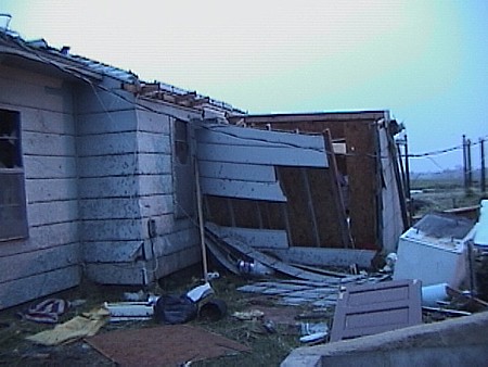
House damaged near Madill,OK on 5-8-03 (video still)
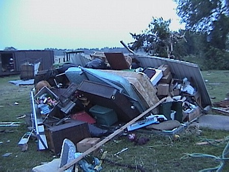
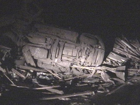
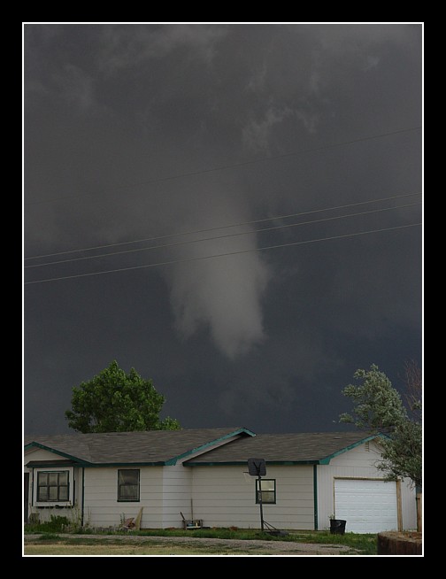
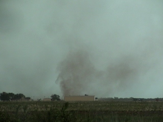
Tornado damage near Madill,OK on 5-8-03 (video still)
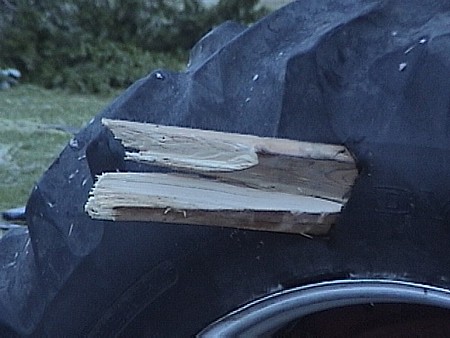
A piece of wood stuck in a tractor tire near Madill,OK on 5-8-03 (video still)
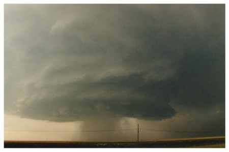
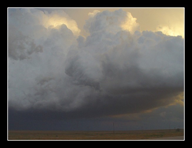
Updraft of tornadic storm near Tulia,TX on 10-5-03 (digital photo)
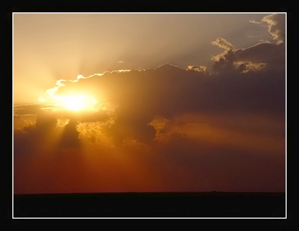
Reflection of a sunset in building windows in Amarillo,TX (digital photo)
Car damaged in Cordell,OK on 10-9-01 (video still)
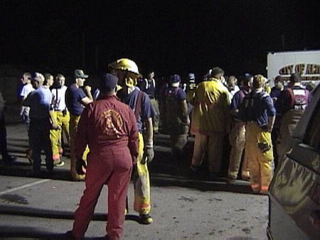
Firefighters in Cordell,OK on 10-9-01 (video still)
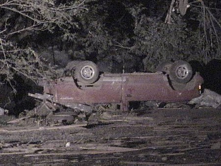
Overturned car in Cordell,OK on 10-9-01 (video still)
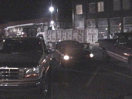
Ironic image of a roofing truck in Cordell on 10-9-01 (video still)
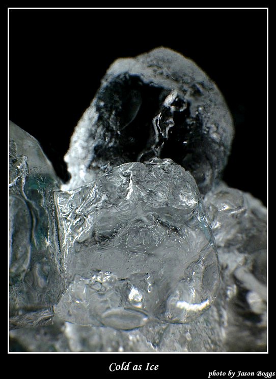
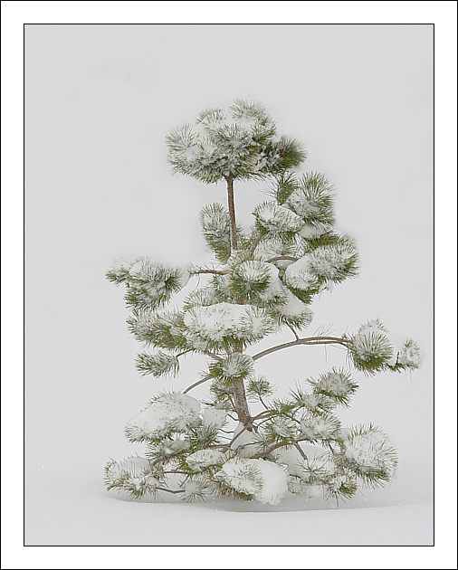
An ice photo (digital photo)
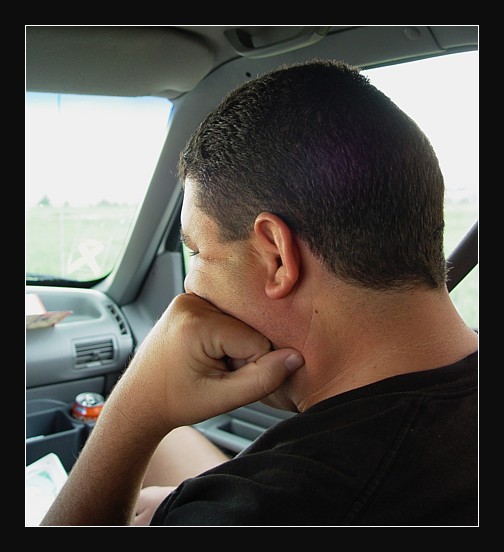
What you have to do when you forget your tripod (video still)
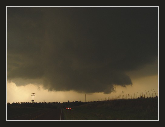
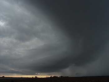
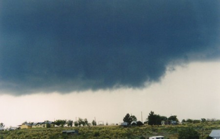
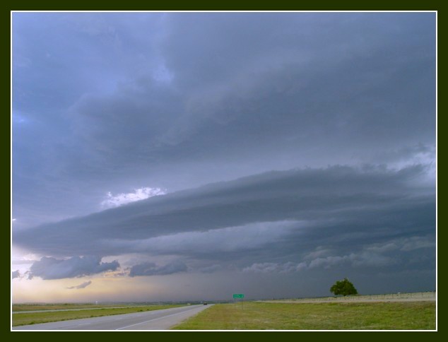
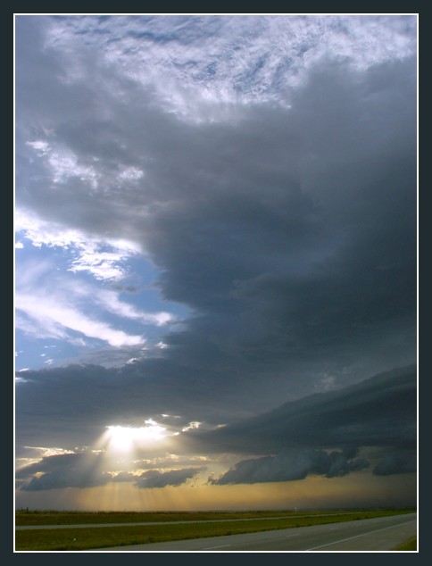
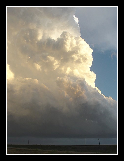
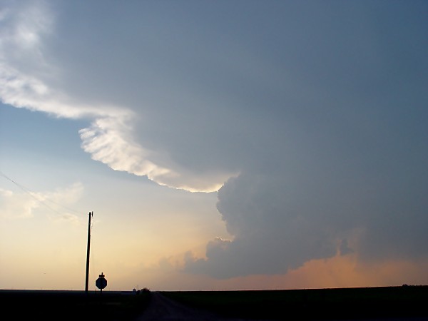
Wall cloud near Guthrie,OK on 5-9-03 (digital photo)
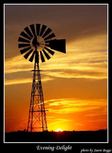
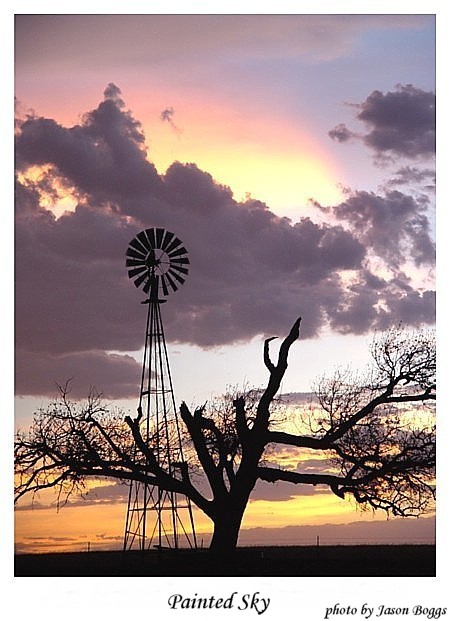
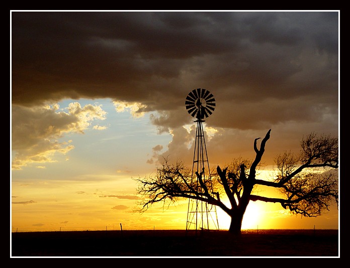
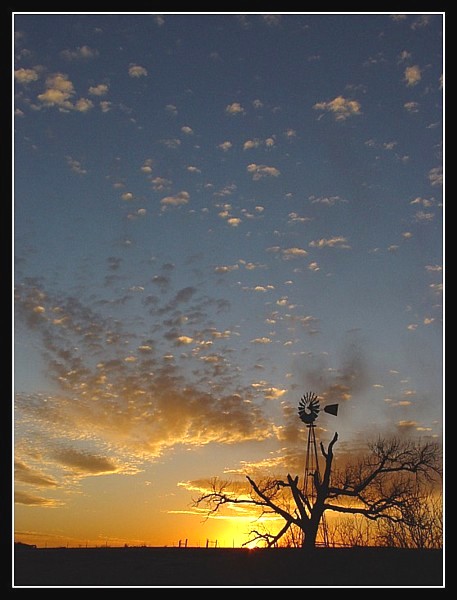
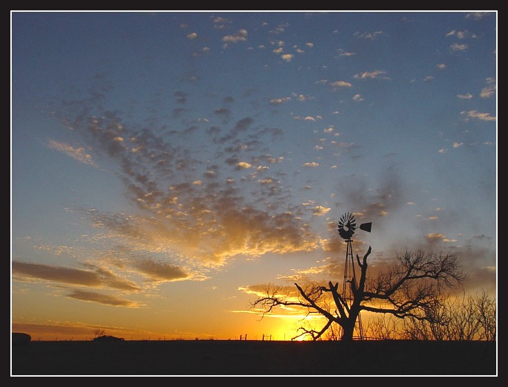
A nice photo of a windmill and sunset SW of Amarillo,TX (digital photo)
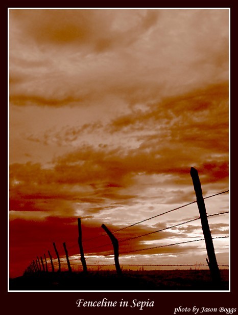
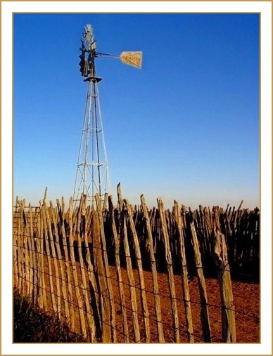
A West Texas fenceline in sepia mode (digital photo)
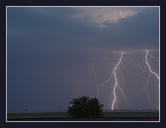
Lightning photo near Plainview,TX (digital photo)
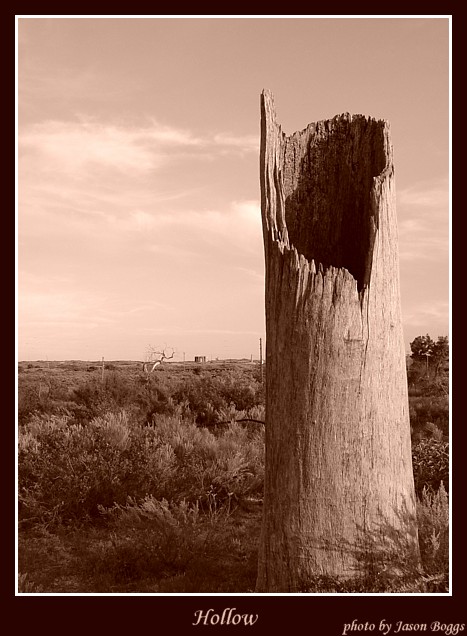
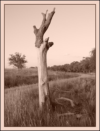
Photo of a hollow log south of Pampa,TX (digital photo)
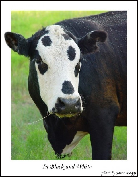
A black and white cow photographed near Pampa,TX (digital photo)
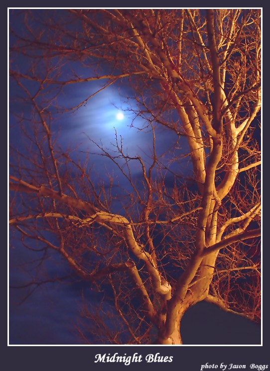
Photo of the moon with a tree in the foreground (digital photo)
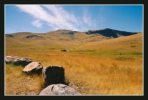
A photo taken in Montana (photo from film)
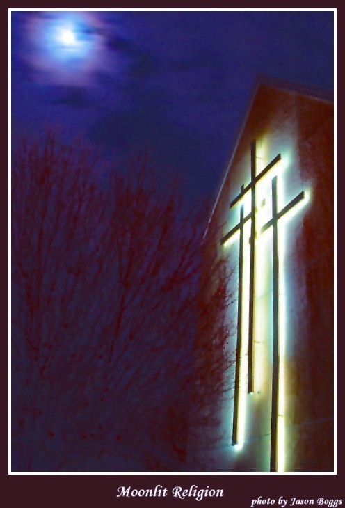
Photo of the moon with 3 church crosses (digital photo)
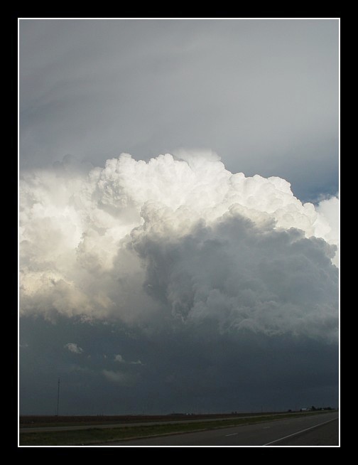
Storm taken near Sudan,TX on 6-3-03 (digital photo)
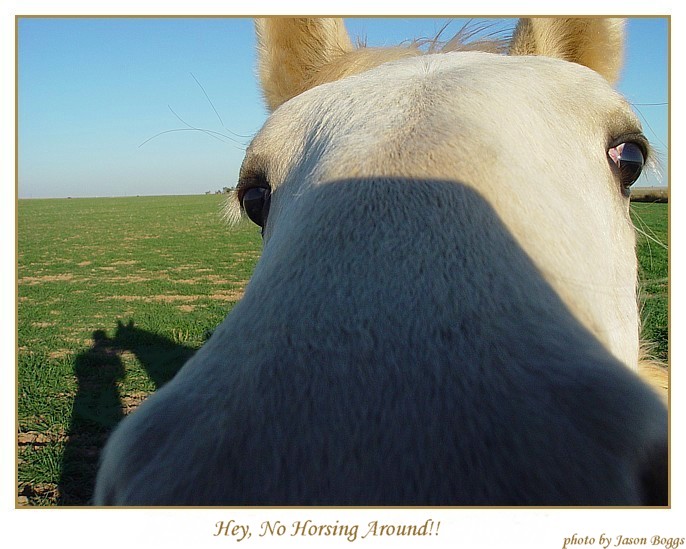
Just horsing around one day (digital photo)
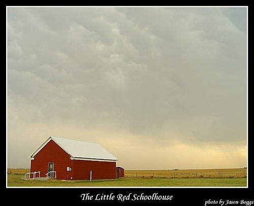
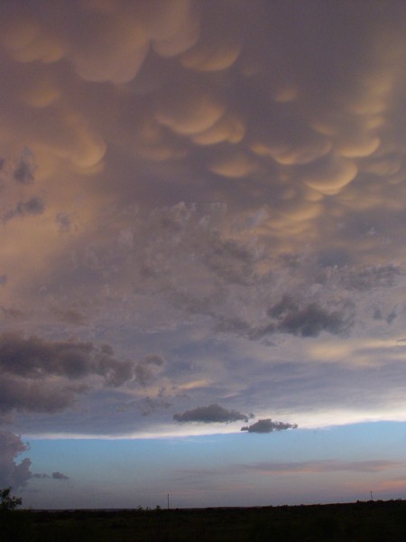
Old schoolhouse with mammatus clouds near Pampa,TX (digital photo)
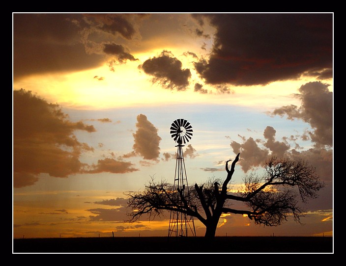
Beautiful sunset with windmill near Amarillo,TX (digital photo)
A nice ending to a chase near Plainview,TX (photo from film)
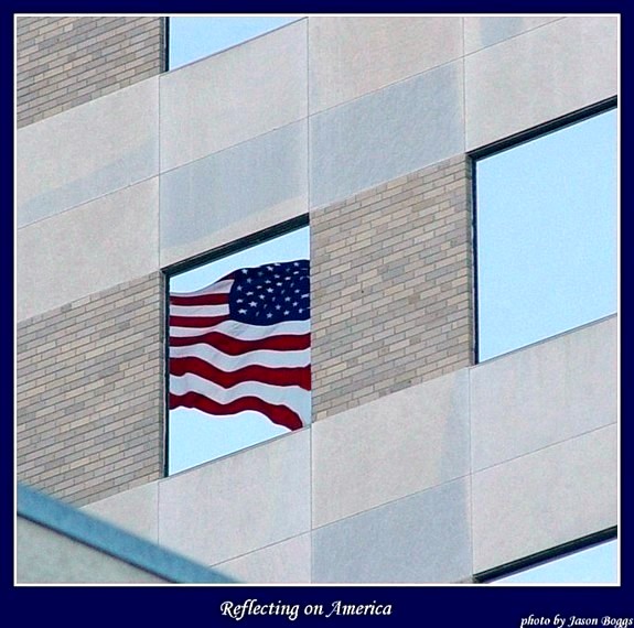
Reflection of the American flag in a window in downtown Amarillo (digital photo)
Storm near Levelland,TX on 10-6-03 (digital photo)
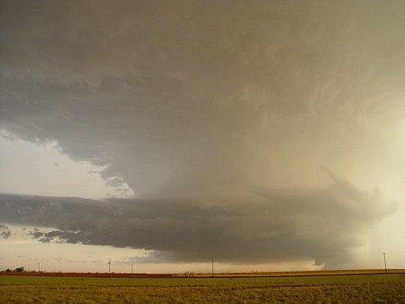
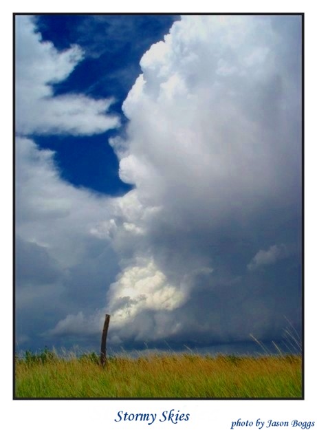
Photo of a storm sky near Pampa,TX (digital photo)
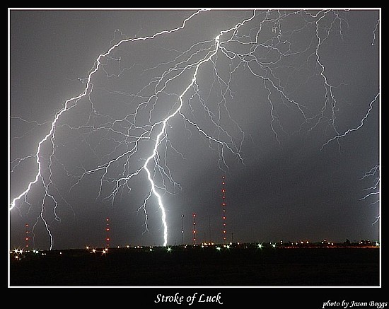
Lightning shot west of Amarillo,TX (digital photo)
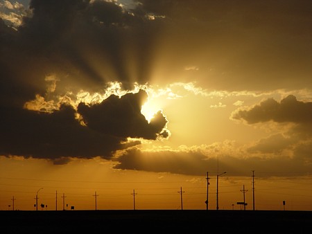
Sunset photo taken North of Amarillo,TX on 4-28-03 (digital photo)
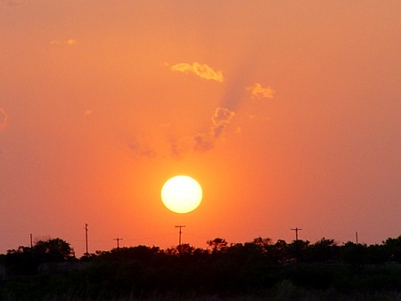
Sunset near Paducah,TX on 4-5-03 (digital photo)
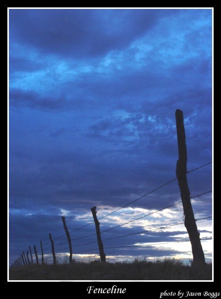
West Texas fenceline (digital photo)
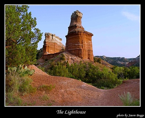
The popular lighthouse in Palo Duro Canyon SE of Amarillo,TX (digital photo)
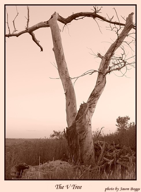
A V shaped tree (digital photo)
A tornadic wall cloud east of Cordell,OK near Ft. Cobb lake on 10-9-01 (video still)
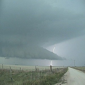
A tornado east of Cordell,OK near Ft. Cobb lake on 10-9-01 (video still)
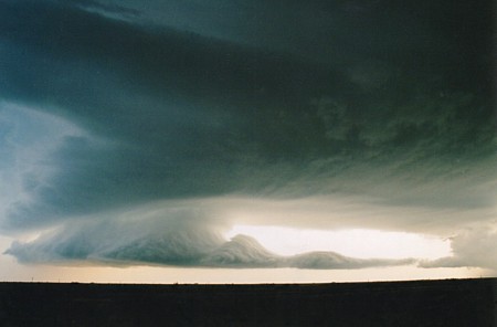
A wall cloud near Pampa,TX on 5-24-03 (video still)
A classic West Texas sunset taken in Amarillo,TX (digital photo)
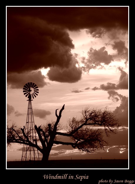
A windmill in sepia mode taken near Amarillo,TX (digital photo)
Wall cloud taken in NW Amarillo on May 29th 2001 (photo from film)
Mesocyclone taken near Panhandle sometime in 2001 (photo from film)
A nice storm taken near Lubbock in 2002 (photo from film)
A beautiful photo of a sunset and windmill near Amarillo, TX (digital photo)
Another beautiful photo of a sunset and windmill near Amarillo, TX (digital photo)
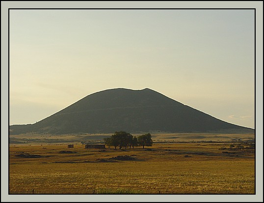
A photo of Mt. Capulin volcano in NE New Mexico (digital photo)
A photo of a ranch SE of Amarillo, TX near Buffalo Lake Wildlife Refuge (digital photo)
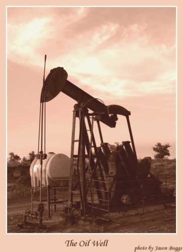
A typical West Texas oil well (digital photo)
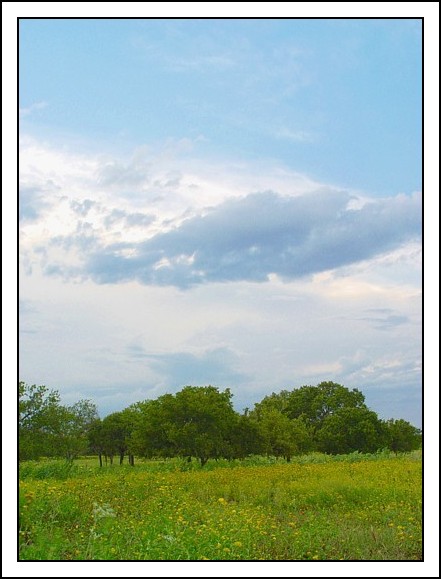
A pasture scene north of Pampa, TX (digital photo)
A photo taken at Buffalo Lake Wildlife Refuge (digital photo)
Some video did not get sent in for a football show (digital photo)
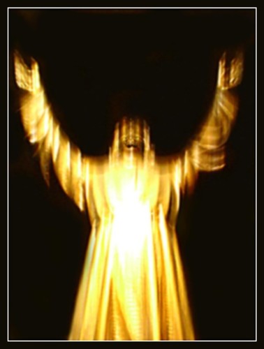
Christ has risen (digital photo)
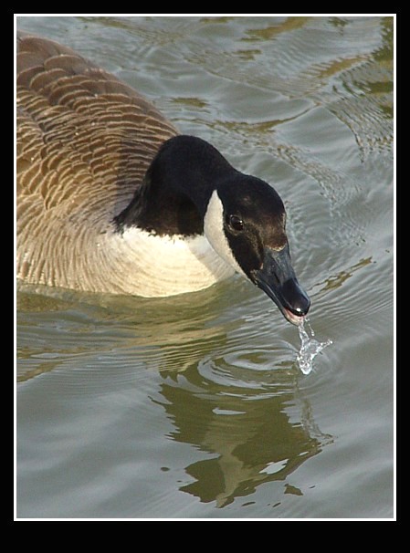
This water is terrible!!! (digital photo)
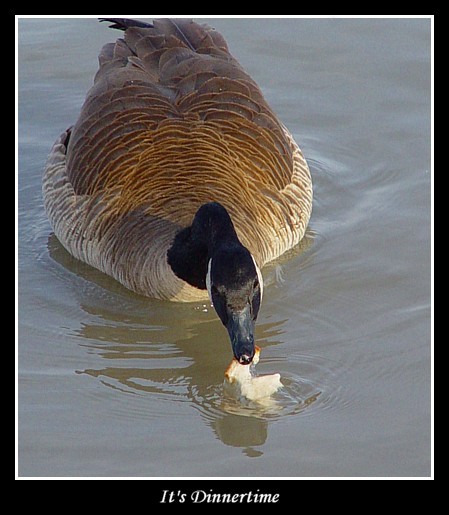
I think I will stick to bread! (digital photo)
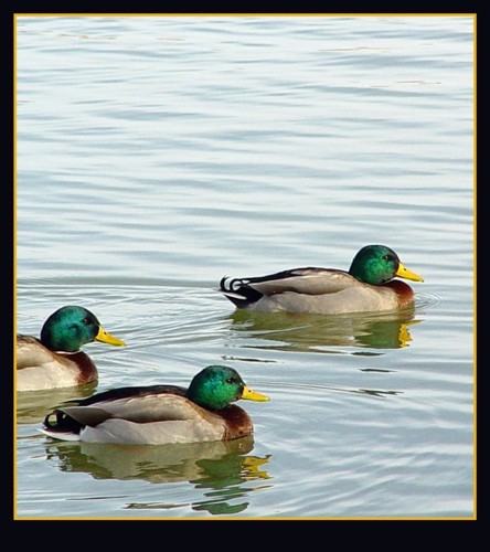
3 male mallard ducks (digital photo)
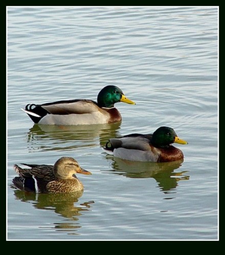
2 mallard ducks along with 1 female (digital photo)
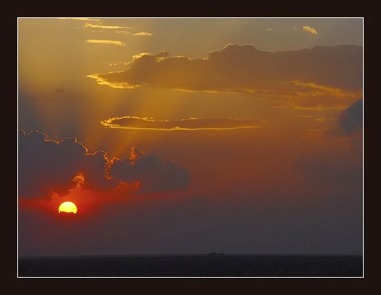
A sunset North of Amarillo (digital photo)
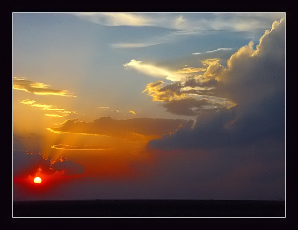
A different view of sunset North of Amarillo (digital photo)
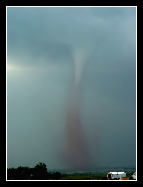
Tornado near Medicine Lodge Kansas taken on 5-12-04 (digital photo)
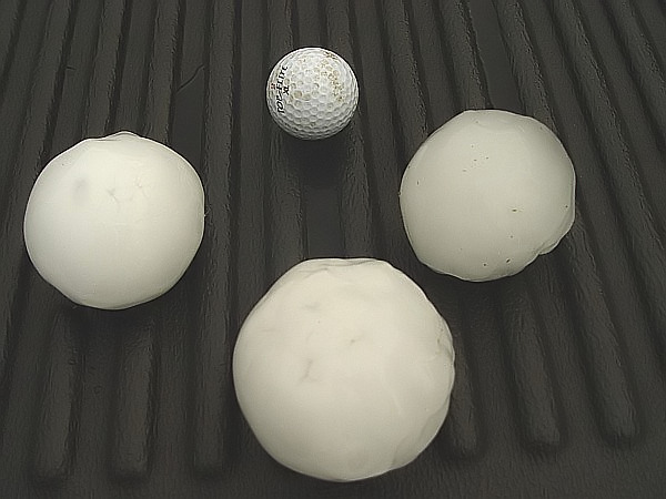
Baseball size hail and larger near the town of Attica, KS taken on 5-12-04 (digital photo)
The next 7 photos are from a sunset shoot I did near Vega, TX on 6-9-04.
Sunset photo #1 (digital photo)
Sunset photo #2 (digital photo)
Sunset photo #3 (digital photo)
Sunset photo #4 (digital photo)
Sunset photo #5 (digital photo)
Sunset photo #6 (digital photo)
Sunset photo #7 (digital photo)
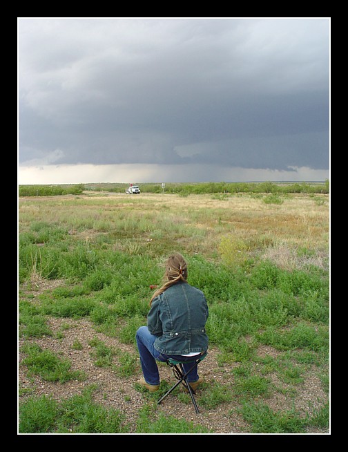
As you can see from my friend Bill Turner, not all storm chases are full of excitement. (digital photo)
The next 3 photos are near Canyon, TX on 6-2-04. The winds were blowing in excess of 50 to 60 mph at the time of the photos.
Shelf cloud photo #1 (digital photo)
Shelf cloud and sunset photo #2 (digital photo)
Sunset photo #3 (digital photo)
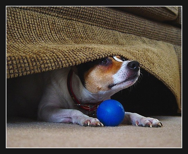
The next 2 photos are of my friend's rat terrier named Cyclone.
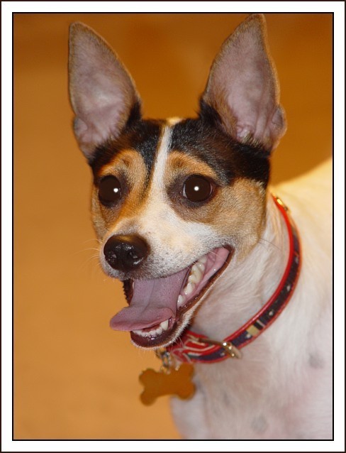
Color portrait of Cyclone (digital photo)
I found it under the couch! (digital photo)
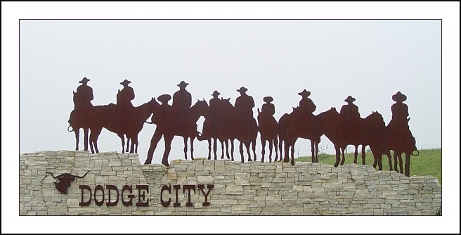
On the East side of Dodge City, KS (digital photo)
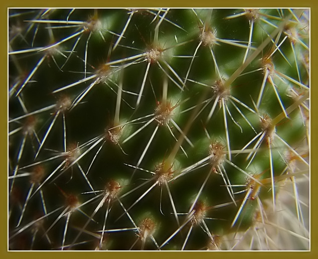
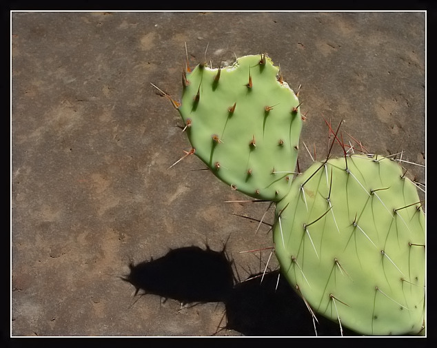
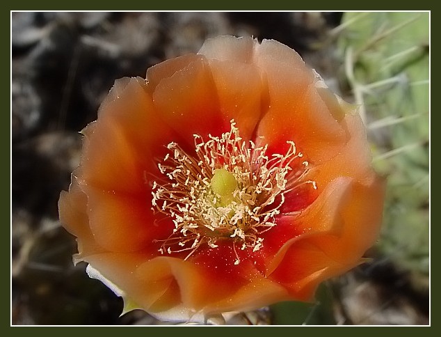
The next 5 images are from a trip to Palo Duro Canyon near Amarillo, TX on 5-31-04.
A cactus up close but not too close...OUCH!! (digital photo)
Another photo of a cactus, but not quite as close this time. (digital photo)
A photo of a cactus flower. (digital photo)
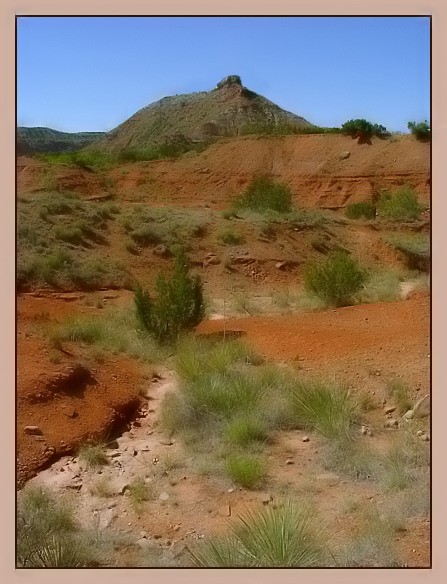
A photo of what else, Palo Duro Canyon. (digital photo)
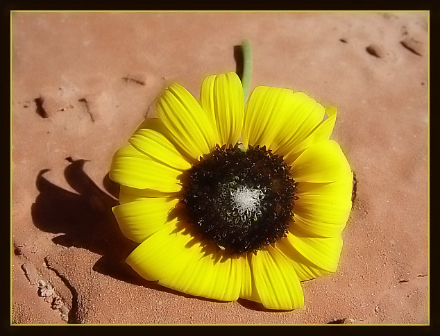
A sunflower I picked and placed on a rock. (digital photo)
A sunset photo on a storm chase near Boys Ranch, TX. (digital photo)
One of my best friends just got married on 5-29-04 near Springfield, MO. Congratulations to Mr. and Mrs. Shawn Macklin. (digital photo)
A beautiful girl that was at the wedding. I believe it's Shawn's niece. (digital photo)
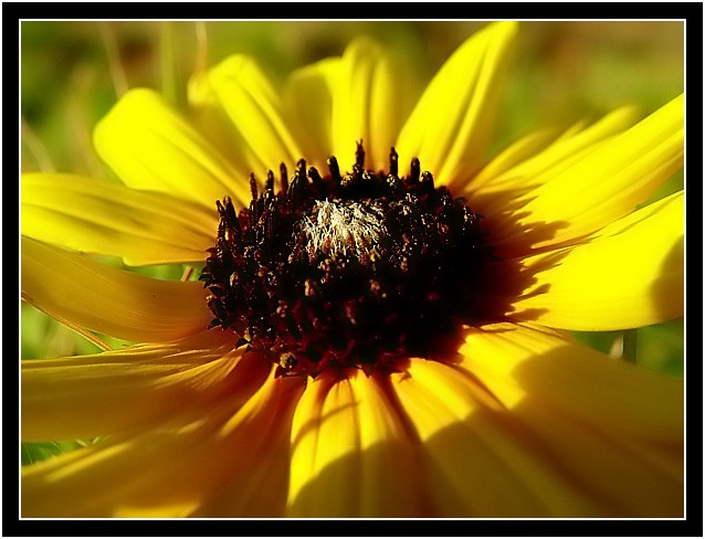
A closeup of a sunflower near Sweetwater, OK. (digital photo)
The next few photos are from a chase NW of Amarillo on 6-21-04 where I got to meet Gene and Karen Rhoden and their friend Scott. I want to take the time to thank the Rhoden's and their friend Scott for being so nice to me. They helped make this day one of the most memorable chases of my life. As Gene said "this storm is worth the price of admission", and was it ever!
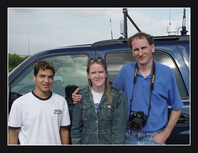
Gene and Karen Rhoden and their friend Scott. (digital photo)
Gene Rhoden was nice enough to let me take a photo of him. Thanks Gene! (digital photo)
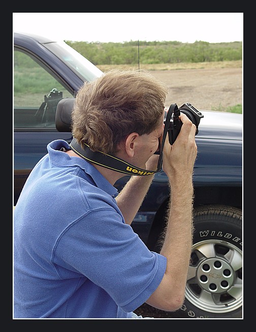
Gene taking photos of this very well developed storm. (digital photo)
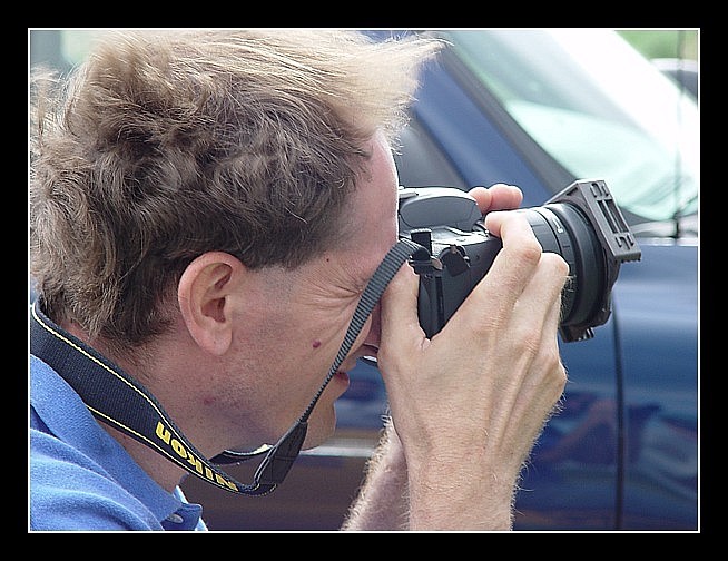
Gene taking more photos of this very well developed storm. (digital photo)
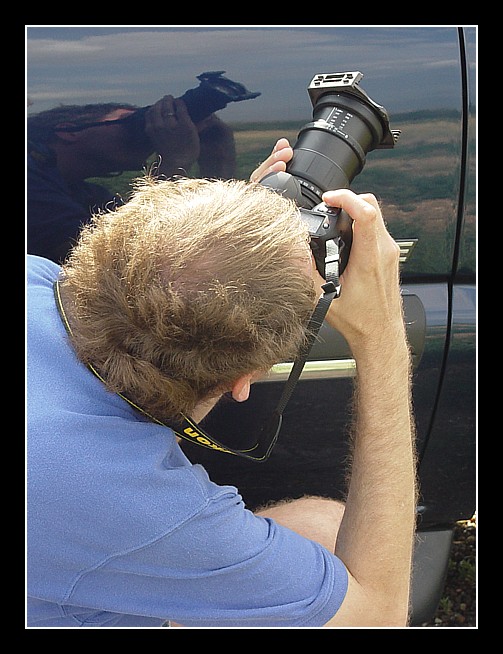
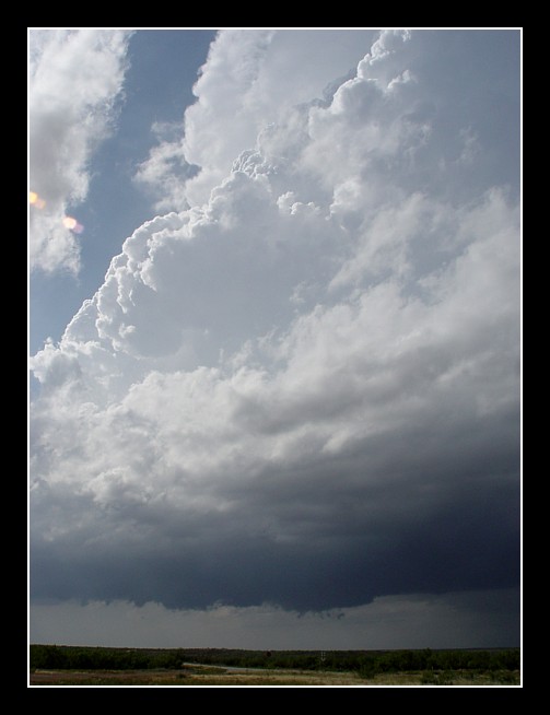
Gene getting a shot of the vigorous convection. (digital photo)
Karen Rhoden relaxing and enjoying the beauty of this storm. (digital photo)
A friend of the Rhoden's named Scott. I very much enjoyed meeting this chaser from the Dallas area. (digital photo)
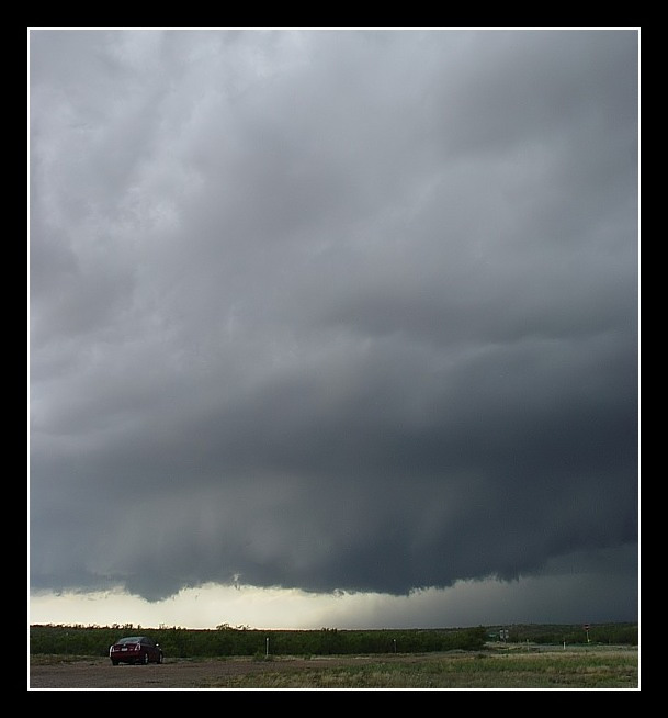
Base of the storm NW of Amarillo. (digital photo)
updraft of storm NW of Amarillo. (digital photo)
Well developed towers south of Canyon. (digital photo)
updraft base south of Canyon. (digital photo)
Photo #2 of towers south of Canyon. (digital photo)
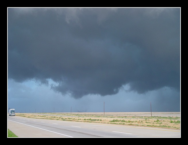
first tornado of the day near Wildorado. (digital photo)
tornado near Happy. (digital photo)
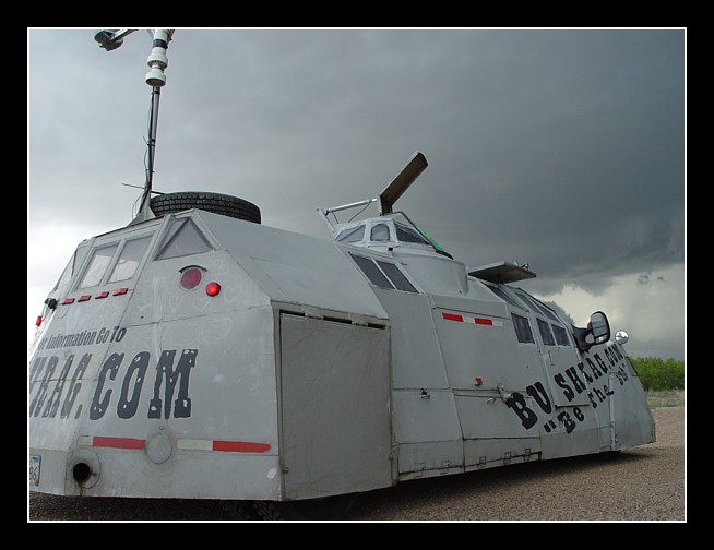
This metal plated storm chasing vehicle pulled up NW of Amarillo. It is called the Bushrag. When I saw it I thought I was on another planet. (digital photo)
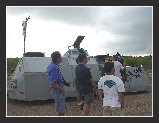
Gene Rhoden standing next to the Bushrag. (digital photo)
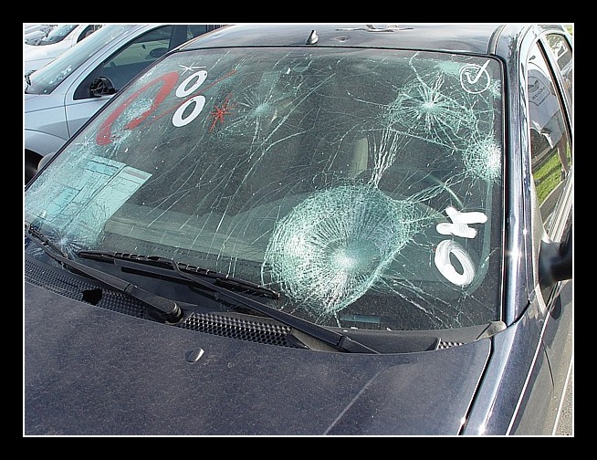
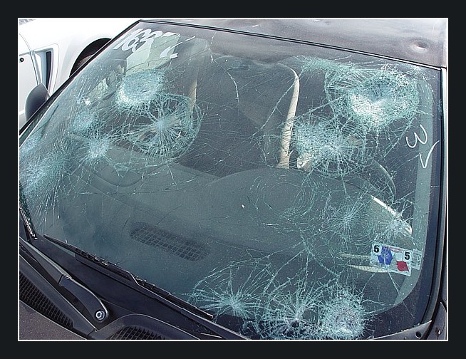
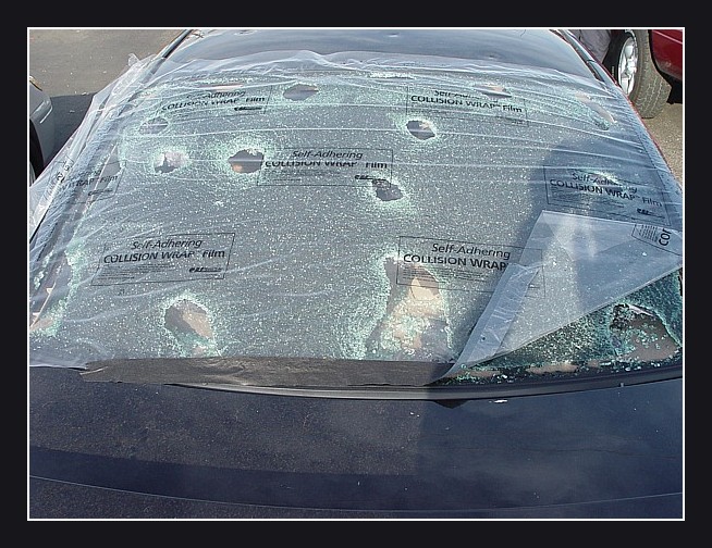
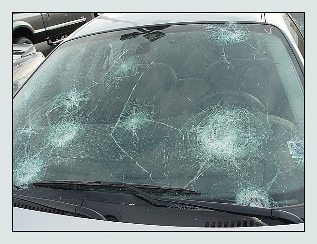
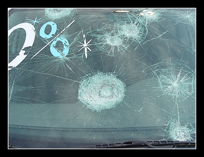
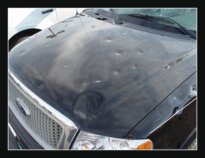
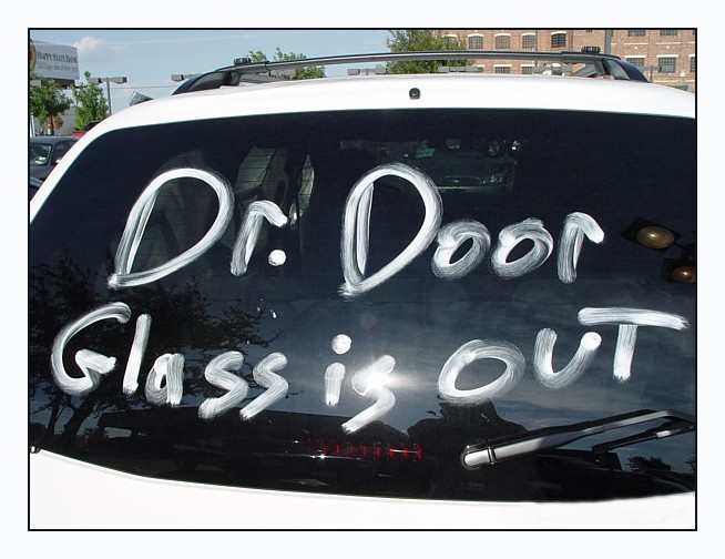
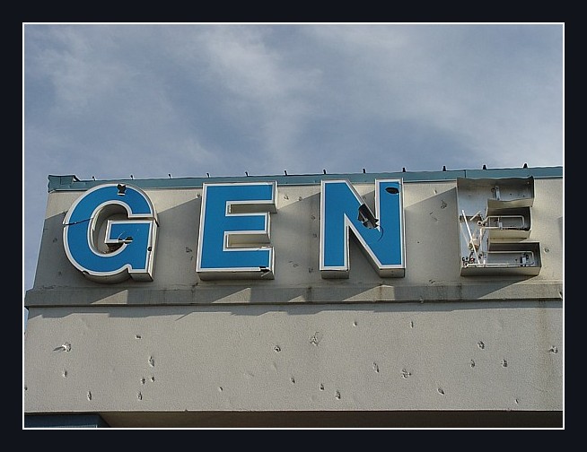
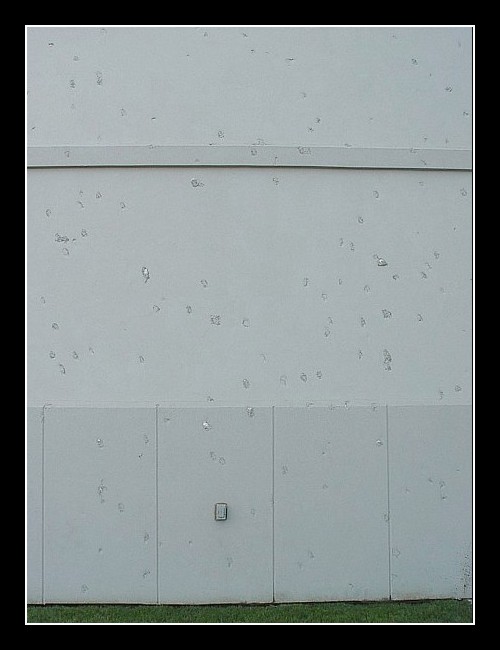
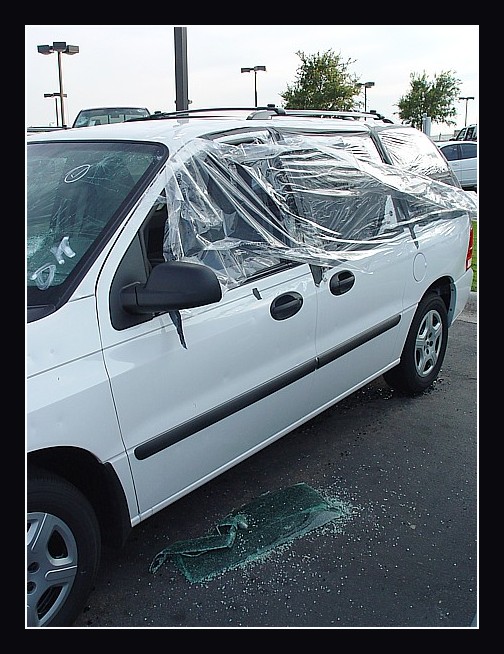
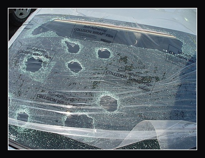
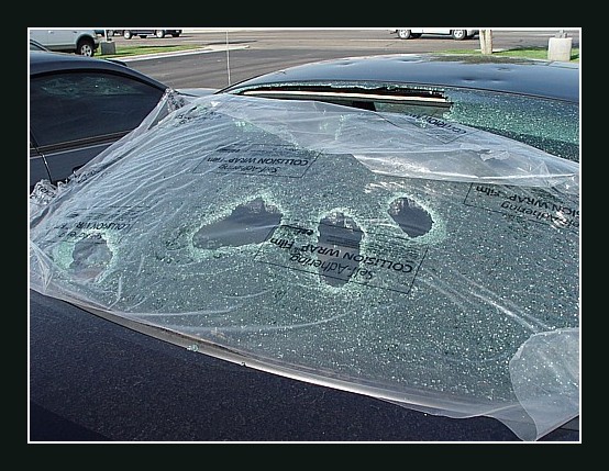
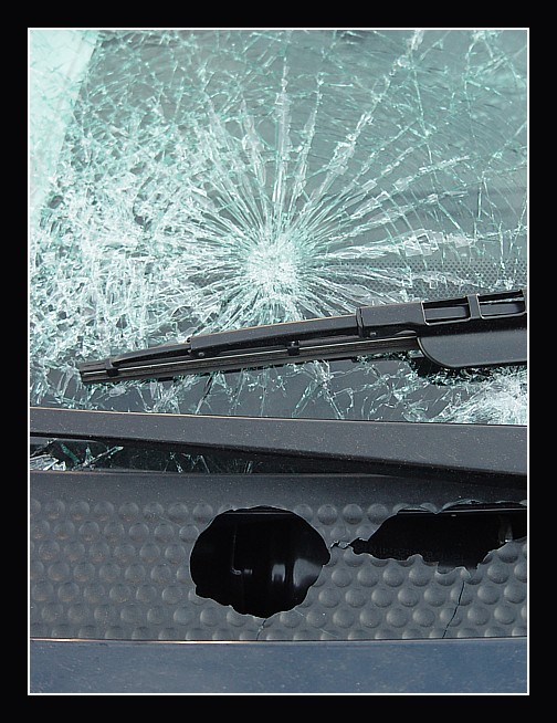
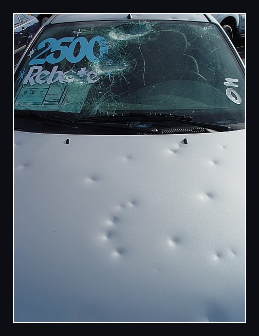
The next few images are from the massive hail damage from this day (6-21-04) that occured at an Amarillo car dealership on the west side of town. Total estimates in damage from everything right now in Amarillo are between 100 and 125 million dollars! The car dealership had 5 million in damage alone!
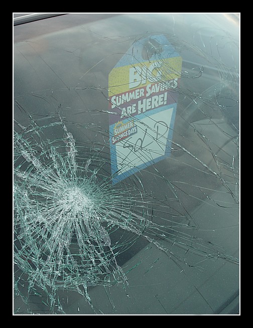
A huge crater in the windshield of a car. (digital photo)
More huge craters in the windshield of a car. (digital photo)
Holes in the back window of a car. (digital photo)
More craters in a car windshield. (digital photo)
Yet more craters in a car windshield. (digital photo)
Badly dented hood of a truck. (digital photo)
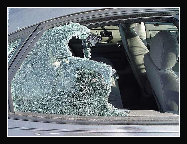
Driver door glass is out. (digital photo)
The side of the building at the car lot got nailed! (digital photo)
Another view of holes in the building. (digital photo)
Side glass completely knocked out of a van. (digital photo)
More holes in the back of a car window. (digital photo)
Anybody want to see more holes in the back of a car window?. (digital photo)
A nice hole in a piece of plastic near the windshield. (digital photo)
Sold to Mother nature. (digital photo)
Side window almost completely knocked out. (digital photo)
Ok, this is too weird. Am I the only one that sees the smiley face? Hmm.... (digital photo)
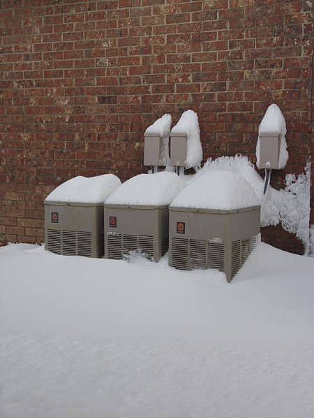
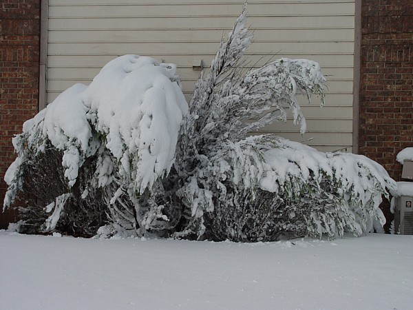
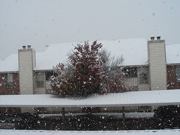
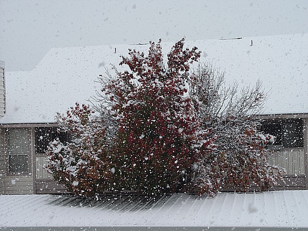
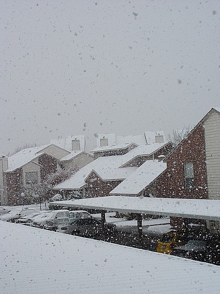
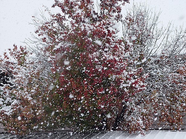
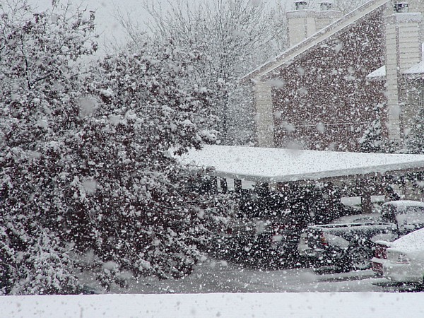
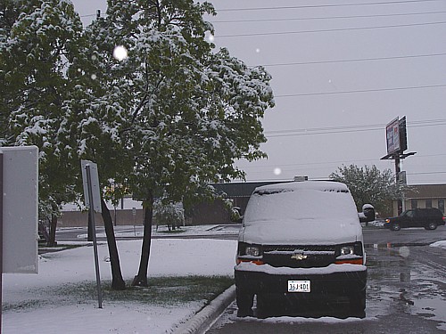
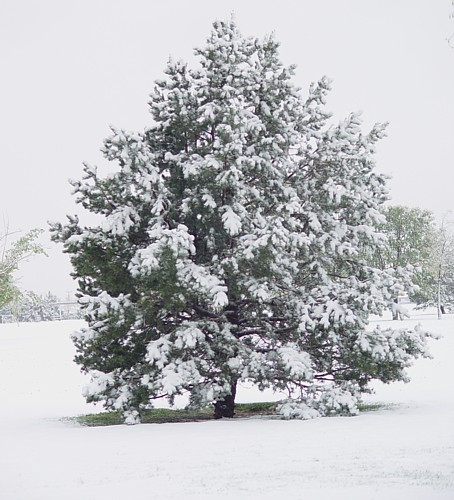
Here are a few photos of the first snow event of 2004 in Amarillo that took place on the 1st and 2nd of November. Amarillo officially got 9 inches of the white stuff. All photos were taken in Amarillo.
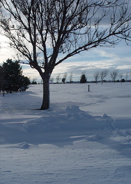
Snow photo #1. (digital photo)
Snow photo #2. (digital photo)
Snow photo #3. (digital photo)
Snow photo #4. (digital photo)
Snow photo #5. (digital photo)
Snow photo #6. (digital photo)
Snow photo #7. (digital photo)
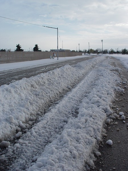
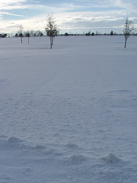
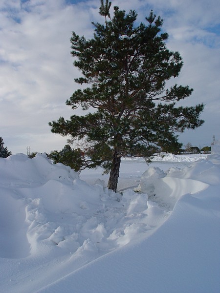
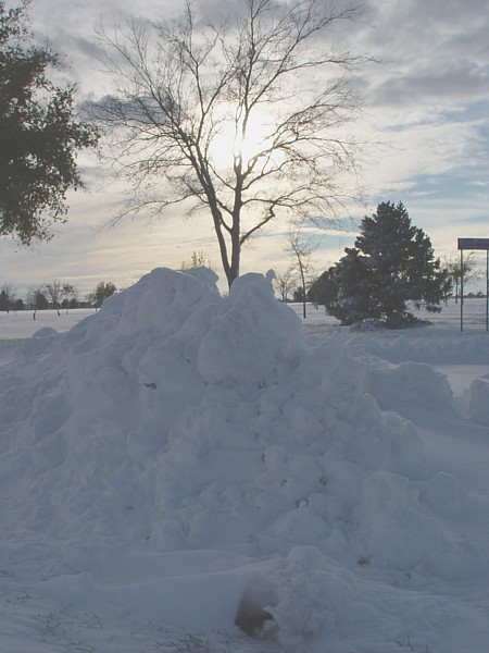
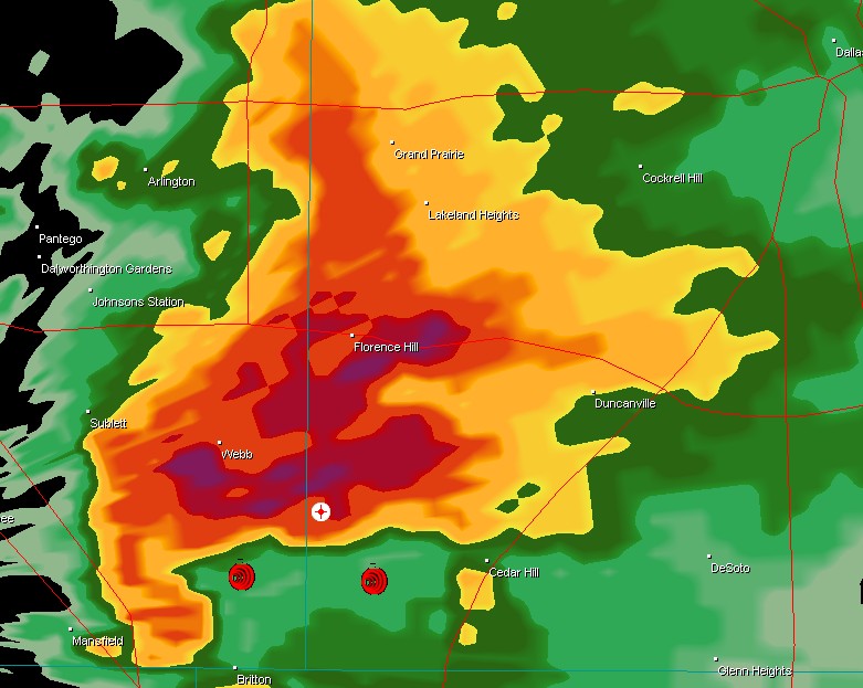
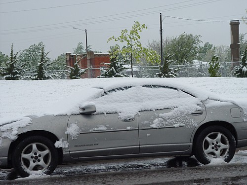
Here are some photos of the second snow event in Amarillo for 2004. This short lived but very heavy snowfall occured on 11-13-04. I believe we got around 3 inches in Amarillo. Are we in for a hard winter? Hmmm...
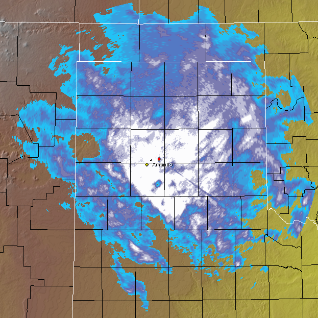
radar at the time of heavy snow. The yellow cross in southwest Amarillo depicts my location. (digital photo)
Snow photo #1. (digital photo)
Snow photo #2. (digital photo)
Snow photo #3. (digital photo)
Snow photo #4. (digital photo)
Snow photo #5. (digital photo)
Snow photo
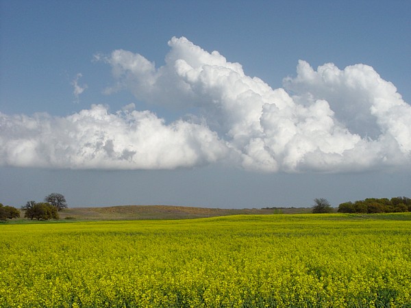
Cumulus clouds taken near Fairview, OK on 4-10-05
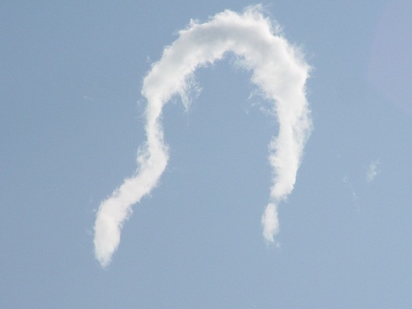
Horseshoe vorticy taken near Custer City,OK on 4-10-05
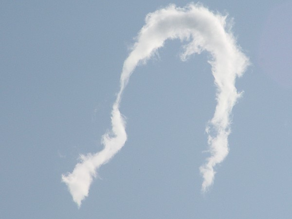
another photo of horseshoe vorticy taken near Custer City,OK
lightning
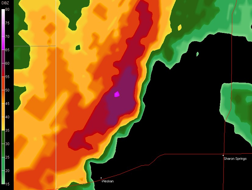
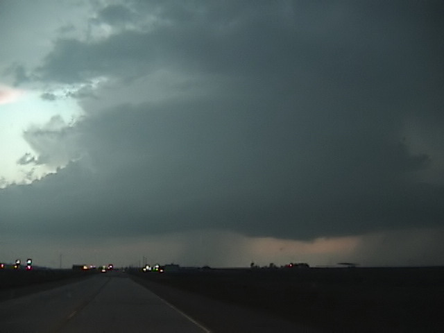
hook echo
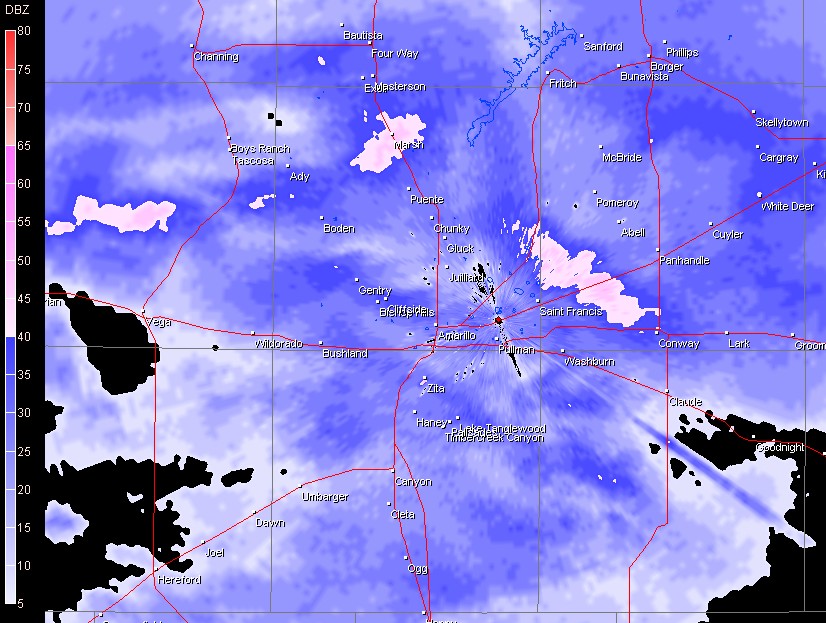
radar image
radar image of snow on May 2nd
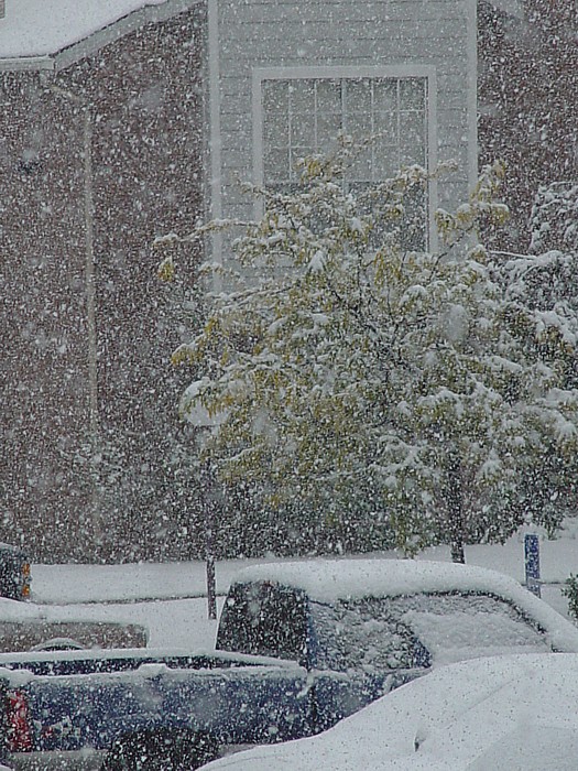
snow in May of 2005
snow in May of 2005
snow in May of 2005
snow in May of 2005
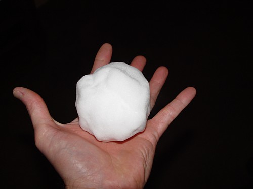
hailstone, I mean snowball!
snow still falling at 9:30 am
storm near Clayton, NM on 5/6/05
storm near Clayton, NM on 5/6/05
storm near Clayton, NM on 5/6/05
storm near Clayton, NM on 5/6/05
storm near Clayton, NM on 5/6/05
storm near Clayton, NM on 5/6/05
storm near Clayton, NM on 5/6/05
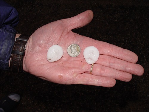
hail near Clayton, NM on 5/6/05
Kansas storm north of Garden City on 5/11/05
Kansas storm near Deerfield on 5/11/05
gustnado west of Weinert,TX
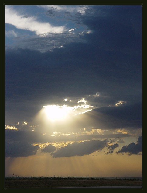
sunset with mammatus clouds
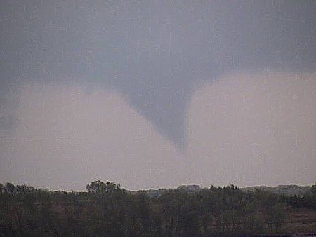
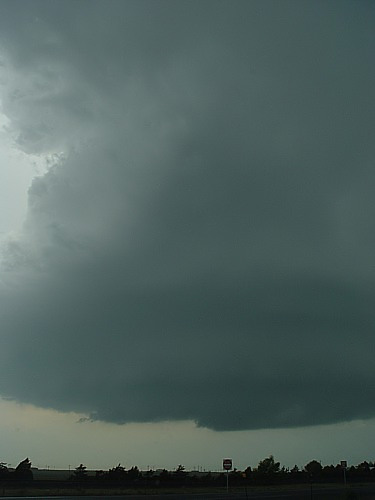
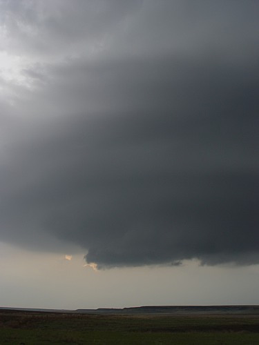
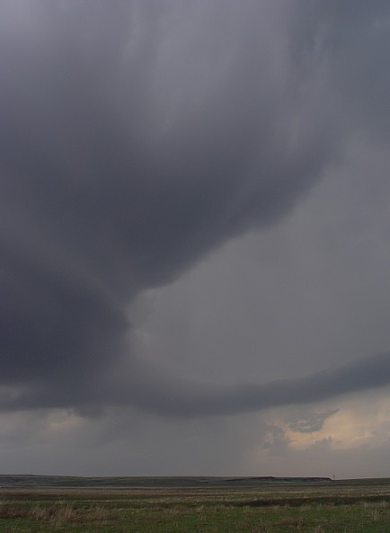
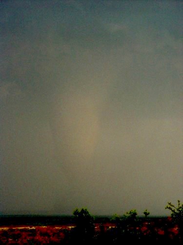
low contrast cone tornado near Gilliland,TX
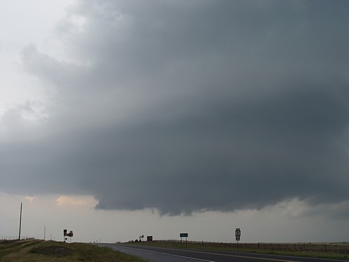
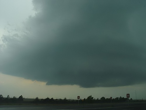
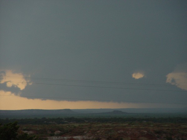
wall cloud south of Truscott,TX
I WILL BE POSTING MORE PHOTOS IN THE FUTURE. GOOD LUCK ON THE QUIZ!!!
THE BASIC TEST
1. What size is golfball size hail?
1.75 inches.....1.50 inches.....2.0 inches
2. What defines a supercell?
a storm with an overshooting top.....a storm with a persistent rotating updraft.....a storm with a lot of lightning
3. What makes a more unstable atmosphere?
warm air over cold air.....warm moist air under cold dry air.....windy air under warm air
4. Most supercells that produce tornadoes are Low Precipitation supercells.
TRUE.....FALSE
5. An overshooting top shows that an updraft in a storm is
weak.....strong.....producing a tornado
6. When chasing a storm that is moving northeast, what side of the storm should you be on?
southeast.....north.....west
7. Visible striations in an updraft shows that the storm is
weak.....about to produce a tornado.....rotating
8. .88 inch hail is what size?
penny size.....quarter size.....nickel size
9. The rope stage is the
organizing stage.....mature stage.....dissipating stage of a tornado.
10. EHI stands for
Enormous Hail Index.....Energy Helicity Index
11. A cap is essentially
weak winds in the mid levels.....warm air in the mid levels.....cold air in the mid levels
12. Which is NOT a type of lifting mechanism?
a cold front.....daytime heating.....weak winds at the surface
13. Always get at least a
5%.....50%.....20% ground reference when taking video and still shots.
14. Cool winds from the north is a sign that a storm is producing
inflow.....outflow
15. A veering wind is a wind that turns
clockwise with height.....counterclockwise with height
16. A supercell needs an extra ingredient than normal storms which is
a strong cap.....high moisture.....vertical shear
17. A hook echo is a sign that a storm is possibly becoming
tornadic.....outflow dominant.....a garden variety storm
18. Core punching is
driving through the core of the storm to get in better position.....driving away from the storm.....none of these
19. In degrees, a wind blowing from the SE is blowing from what direction?
180 degrees.....135 degrees.....225 degrees
20. Which is NOT a stage in T-storm development?
billowing stage.....mature stage.....cumulus stage
THE ADVANCED TEST
1. What are the favorable quadrants for rising air in a jet streak?
right rear, left front.....right rear, right front.....left rear, right front
2. Supercells tend to follow about
50.....15.....30 degrees to the right of the mean 700 to 500 millibar winds.
3. The convective temperature is found on a skew-T diagram by dropping a parcel of air
moist.....dry.....none of these adiabatically from the CCL to the surface and reading off the new temperature once the parcel reaches the surface.
4. A super adiabatic lapse rate occurs when the temperature decreases with height at a rate of greater than
15.....10.....8 degrees celsius per kilometer.
5. A loaded gun sounding is characterized by extreme instability but contains a fairly strong
jet max.....low pressure system.....cap
6. What are the 2 types of convergence?
rising and sinking.....speed and directional.....directional and positive
7. Which is the right formula for calculating the EHI (Energy Helicity Index)?
cape*helicity/100,000.....cape/helicity*160,000.....cape*helicity/160,000
8. When speed shear is very high, very high
moisture.....divergence.....none of these
is also needed to prevent the storms from shearing apart.
9. TVS stands for
tornado vortex signature.....tornadic volume scan.....tornado vortex strength
10. A freezing level with a pressure level of
615mb.....800mb.....500mb or lower in a severe weather situation generally will support large hail.
11. A negatively tilted trough is a trough that is oriented from the
E to W.....SW to the NE.....NW to the SE
12. The main objective when analyzing
500mb.....300mb.....850mb charts is vorticity.
13. A temperature of 0 degrees celsius is equivalent to a temperature of
50.....32.....0 degrees farenheit.
14. KSPS is the identifier for what city?
Amarillo,TX.....Wichita Falls,TX.....Springfield,MO
15. Which of the following is considered to be, in most cases, an unbreakable cap at the 700mb level?
8 degrees celsius or more.....10 degrees celsius or more.....14 degrees celsius or more
16. How many stages are there in a tornadoes life cycle?
4.....5.....3
17. Is a jet streak a way to break the cap?
yes.....no
18. What is the Amarillo National Weather Service's weather radio frequency?
165.500.....162.550.....162.250
19. Tornado intensity of F-0 to F-5 is estimated in damage done and not by the speed of the winds or the size of the tornado.
FALSE.....TRUE
20. A 500mb temperature of -6 degrees celsius or higher will suppress vigorous convection.
TRUE.....FALSE
 MORE QUIZZES HERE AND HERE COURTESY OF theweatherprediction.com MORE QUIZZES HERE AND HERE COURTESY OF theweatherprediction.com
2005 VIDEO CLIPS ARE HERE!
(high speed connection required)
golfball size hail on 5/12/05 in Quitaque,TX
hail up to tennis ball size falling in water just south of Quitaque,TX on 5/12/05
ALL PHOTOS COPYRIGHT 2003 JASON BOGGS. REPRODUCTION OF ANY KIND IS STRICTLY PROHIBITED WITHOUT WRITTEN PERMISSION. ALL RIGHTS RESERVED
|
